The expression Baaghi Ballia is much more than a nickname.
It represents the district’s historical association with resistance to colonial rule.
From the uprising of 1857 to the nationalist movements of the early twentieth century and especially the Quit India Movement of 1942, Ballia developed a reputation for political activism.
The brief establishment of a parallel government in August 1942 became the defining event behind this identity.
Today, Baaghi Ballia represents: Courage, resistance, independence and the political consciousness of the people of Ballia.
Everything you need to know about your district
Villages
Tehsils
Blocks
Police Stations
University
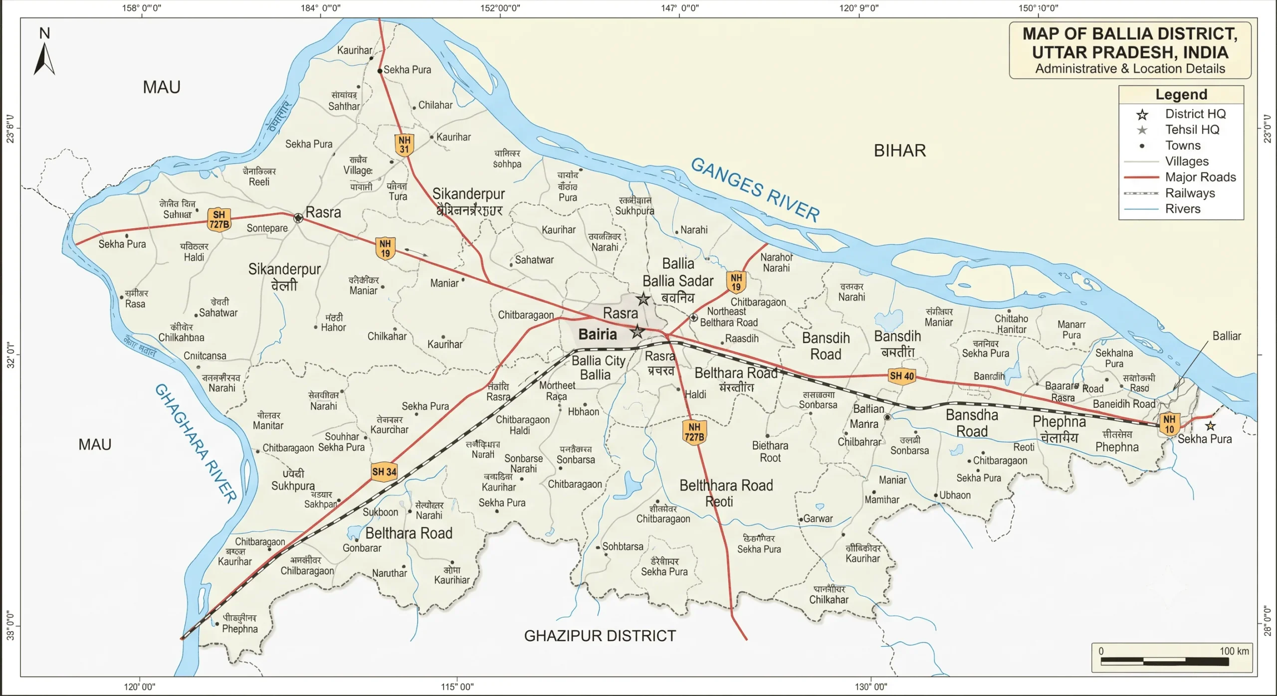
Ballia is an eastern Uttar Pradesh district situated between the Ganga and Ghaghara rivers and bordering Bihar. With its fertile alluvial plains, predominantly rural population, Bhojpuri-Hindi cultural heritage and long history, the district has developed a distinctive identity within the Purvanchal region.
Ballia is particularly remembered for its extraordinary participation in India’s freedom struggle, earning the name “Baaghi Ballia” after the Quit India Movement of 1942, when Chittu Pandey and local freedom fighters established a brief parallel government. The district is also associated with personalities such as Mangal Pandey, Jayaprakash Narayan, Chandra Shekhar and Hazari Prasad Dwivedi.
Its cultural attractions include Bhrigu Ashram, Dadri Mela and numerous religious sites, while Surha Tal provides an important ecological landscape. In 2026, the Jai Prakash Narayan Bird Sanctuary at Surha Tal became India’s 100th Ramsar site, adding an important new chapter to Ballia’s history and environmental significance.
Ballia is more than a geographical district.
Its identity has been shaped by rivers, agriculture, spirituality, literature, folk culture and resistance.
The Ganga and Ghaghara define much of its physical landscape. Its villages preserve centuries-old traditions. Its fairs and festivals bring together communities from across the region. Its archaeological remains provide glimpses into ancient settlement. Its temples and ashrams preserve religious traditions. Its writers and political leaders have contributed to India’s intellectual and political life.
Above all, the events of August 1942 gave Ballia a permanent place in India’s freedom struggle.
| Feature | Information |
|---|---|
| District | Ballia |
| State | Uttar Pradesh |
| Division | Azamgarh |
| District Headquarters | Ballia |
| Geographical Area | 2,981 sq. km |
| Population | 3,239,774 — Census 2011 |
| Population Density | 1,087 persons/sq. km |
| Sex Ratio | 937 females per 1,000 males |
| Literacy Rate | 70.94% |
| Male Literacy | 81.49% |
| Female Literacy | 59.75% |
| Major Languages | Hindi and Bhojpuri |
| Tehsils | 6 |
| Development Blocks | 17 |
| Major Rivers | Ganga and Ghaghara/Saryu |
| Major Wetland | Surha Tal |
| Famous Fair | Dadri Mela |
| Historical Identity | Baaghi Ballia |
| Important University | Jananayak Chandrashekhar University |
| PIN Code of District Headquarters | 277001 |
The district’s area and 2011 demographic statistics are reported by official government sources.
Everything you need to know about your district